Research Centre for Manors in the Baltic Sea Region
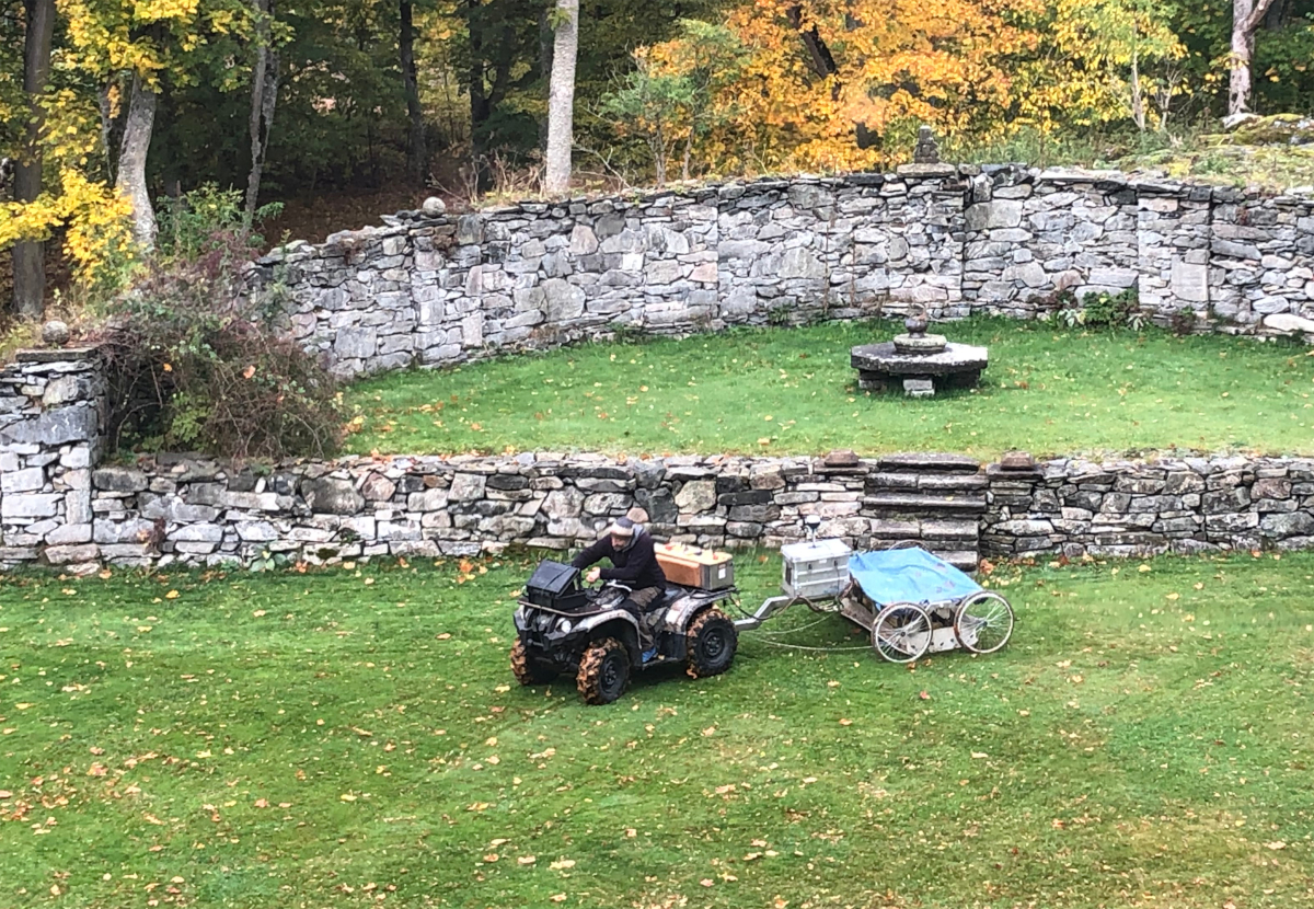
Measurement campaign, Stola, Sweden.
The Research Centre for Manors in the Baltic Sea Region at the University of Greifswald in Germany has entered its second year of research (research-centre-for-manors-in-the-baltic-sea-region). During the three-year funding phase, the project focuses on selected manors from the 18th century, dealing mainly with art-historical questions, but also examining aspects on a cultural, sociological and political level. A special feature of the project is the implementation of georadar measurements, drone flights and interior scans, realized by the cooperation partners from GeoSphere Austria and the University of Vienna VIAS.
First measurement campaign
Last year, these methods could be proven during the first measurement campaign that took place in September 2022 in Norway and Sweden and this with some success: the manors of Fossesholm, Elingaard, Hafslund and Stola were examined closely by a team of art historians and geophysicists [picture measuring]. At Fossesholm manor near Drammen, the georadar survey provided new insights into the historic garden, which has left hardly any visible traces in today’s landscape, but has preserved some hidden structures in the ground. In Elingaard manor near Fredrikstad, the measurement results made it possible to confirm and supplement the existing image sources.
Surprising link to Denmark
The owners of Hafslund were appointed to high-ranking positions at the court at Copenhagen in 1753. They sold their estate near Sarpsborg in Norway and moved to Clausholm manor in Denmark where much of the original Hafslund furniture still can be found. Only a few years later in 1758 the old manor house burned down and the present main building was erected by the new owners. Neither the georadar measurements of NIKU nor our campaign with VIAS could confirm a supposed fourth wing of the old main building which, according to different sources (pictures, maps), is said to have had a square ground plan.
A well-preserved house in rural Sweden
For the measurement campaign at Stola säteri in Västergötland near Lidköping the historic maps provided by the department of geography and geology at Greifswald university have been essential: Ten years after completion of the manor house two maps of 1728 show four wings that are gone today but could partially be traced via georadar. One of those – being the kitchen – was enlarged at some point as the data show.
Forthcoming: measurement campaign in Denmark
The upcoming measurement campaign in September 2023 will take us to Tersløse [picture house] and Gunderslevholm in southwest Zealand. The present manor Tersløsegaard was erected in 1737. It’s most prominent owner was the Danish writer, philosopher and historian Ludvig Holberg (1684–1754), who lived and managed the property from 1745 to 1754. Our major task is to locate the position of the former farm buildings, which are clearly visible on historical maps.
The Neergaard family owns Gunderslevholm for more than 200 years.The manor house as well as the nearby economical complex were built in 1729 by the Danish court marshal Carl Adolph von Plessen (1678–1758). The focus of our investigation is the garden behind the main building. In addition to the remains of a historical rampart, there was originally a spacious baroque garden. Therefore, this area will be investigated more thoroughly.
We are looking forward to present further results of our research on our forthcoming web-portal, at conferences and workshops.
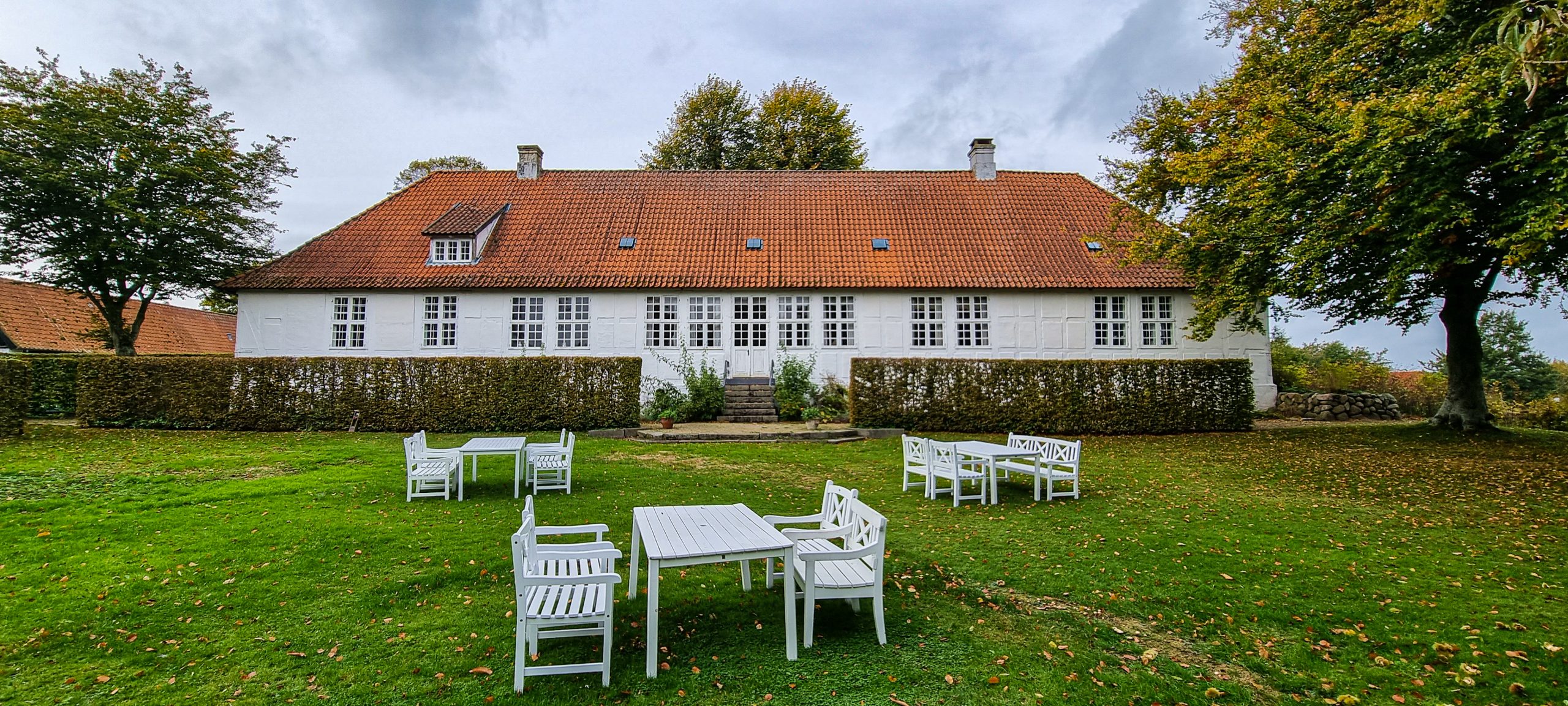
Tersløsegaard, Denmark
Authors: Maria Mischke MA, Dr. Marion Müller, Dr. Thomas Wilke
Further information herrenhauszentrum@uni-greifswald.de